Presumably, your new field here includes the former enclosure once called, a little mysteriously, ‘Old House Field’ – the central section of which being, to this day, a small part of the parish of Blyford that oddly juts into Holton?
As you may be aware already. This quite strange stretch of the parishes’ boundary was once seemingly demarcated, in part, by two trees (an ‘Oak’ and an ‘Elm Pollard’) – this much being clear from the 25″ OS map (1903).
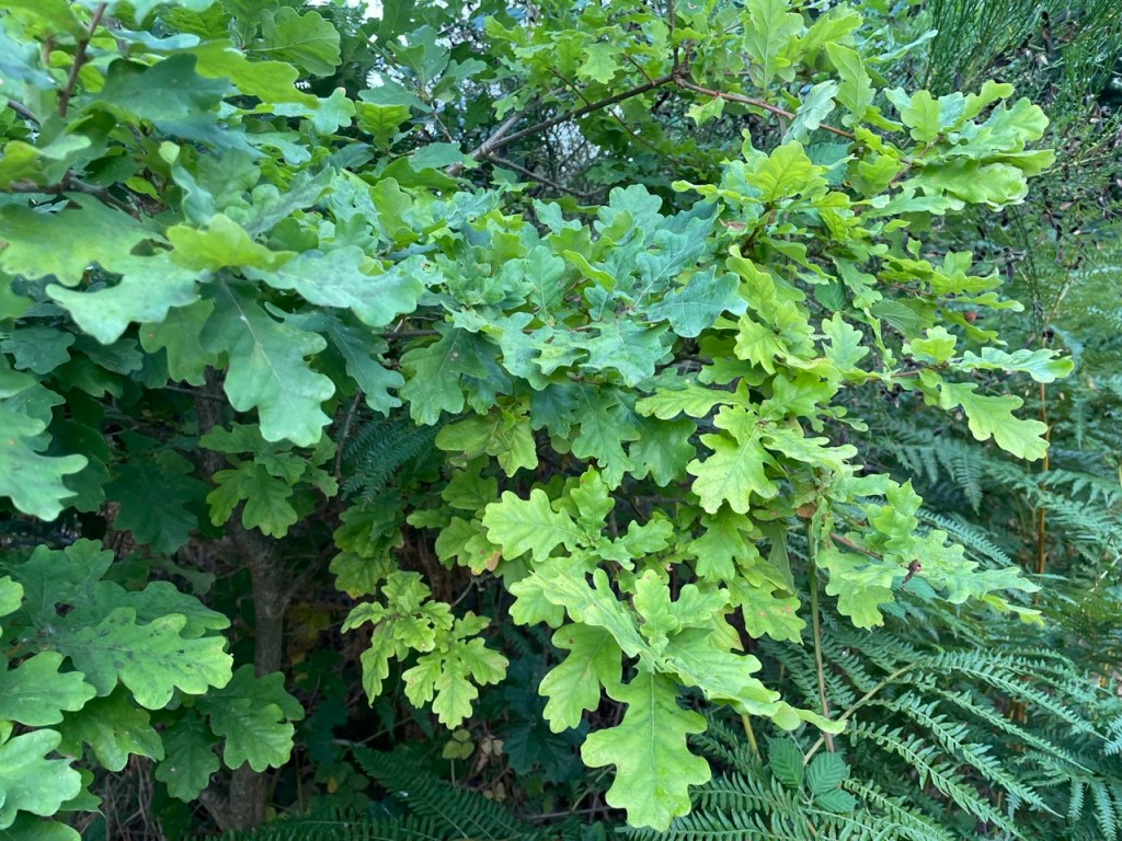
I’m sure there is no sign of the Elm still, but I’d be interested to know if the Oak is still present on the extant northern boundary?
I can’t attach an image here, so here’s a link instead that will take you to the map/area in question:
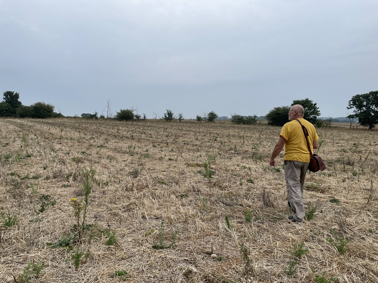


Presumably, your new field here includes the former enclosure once called, a little mysteriously, ‘Old House Field’ – the central section of which being, to this day, a small part of the parish of Blyford that oddly juts into Holton?
As you may be aware already. This quite strange stretch of the parishes’ boundary was once seemingly demarcated, in part, by two trees (an ‘Oak’ and an ‘Elm Pollard’) – this much being clear from the 25″ OS map (1903).
I’m sure there is no sign of the Elm still, but I’d be interested to know if the Oak is still present on the extant northern boundary?
I can’t attach an image here, so here’s a link instead that will take you to the map/area in question:
https://maps.nls.uk/geo/explore/#zoom=17.363095677745765&lat=52.34484&lon=1.53253&layers=168&b=1
Best wishes
Jamie
LikeLike